CASA0023 Remotely Sensing Cities and Environments Learning Diary
Welcome !
Hello and welcome to my page on Remote Sensing. This page is an online learning diary for CASA0023 Remotely Sensing Cities and Environments 25/26. This learning diary records my week-by-week progress, reflections, and applications as I engage with new concepts, methods, and case studies in remote sensing. Through application sections each week, I want to step out of my comfort zone and explore unfamiliar cities and environments to broaden my geographic perspective.
About me
I am a current master’s student at the Bartlett Centre for Advanced Spatial Analysis (CASA), University College London (UCL) studying MSc, Urban Spatial Science. I hold a bachelor’s degree in BSc, Planning and Real Estate from the University of Manchester during 2022-2025. Through my previous studies, I became increasingly interested in how data and technology can be used to better understand urban systems, supporting planning decisions, and respond to environmental challenges
I am particularly interested in how remote sensing can be used to understand patterns and changes in cities and environments that may not be directly interpretable from the ground. From a planning background, I see this module as an opportunity to expand my technical skills and develop a stronger understanding of how satellite imagery can be integrated with geospatial analysis to help understand urban environments more comprehensively, especially when it comes to how different communities experience environmental pressures differently. I personally think that is where remote sensing becomes valuable, not just as a technical tool, but also a way to understand and identify patterns that solves challenges in real world contexts.
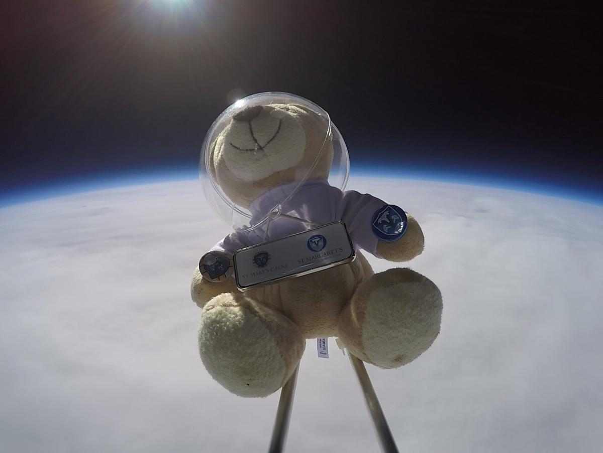
One little fun fact about me. My very first experience beyond the ground was actually back in 2018 during my school’s Science Week, where we launched a teddy bear into the upper atmosphere. It was not quite a satellite, but it was definitely a memorable first encounter with the idea of looking at the world from above!
In this Learning Diary
Each chapter will be covering contents taught in the corresponding week:
- Introduction
- Getting started with remote sensing, this introduction will go through sensor types, spatial resolution, and image pre-processing using Lisbon as the study area.
- Sensor
- Looking at Sentinel-1, the slides will provide a summary of the sensor, its mission, technical specifications, applications, strengths, limitations, and my reflections on SAR data.
- Correction
- Explores Pre-processing and image enhancement with Hong Kong as the study area, including mosaicking, NDVI, GLCM texture, and PCA.
- Policy
- Exploration of OneNYC 2050 and how Earth observation data can support urban climate and heat policy.
- Google Earth Engine
- Introduction to Google Earth Engine for handling, processing, and analysing large remote sensing datasets on a cloud platform.
- Classification I
- Looking at supervised classification methods in Google Earth Engine, focusing on land cover mapping and machine learning approaches.
- Classification II
- Extending on Classification I, this section will look at more advanced classification concepts, including sub-pixel analysis, object-based methods, and accuracy assessment.
- Temperature
- Looking at land surface temperature, urban heat patterns, and time series data.